︎
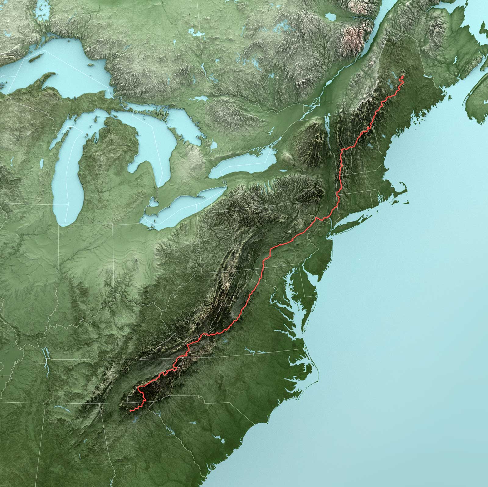
Geographic Visualizations
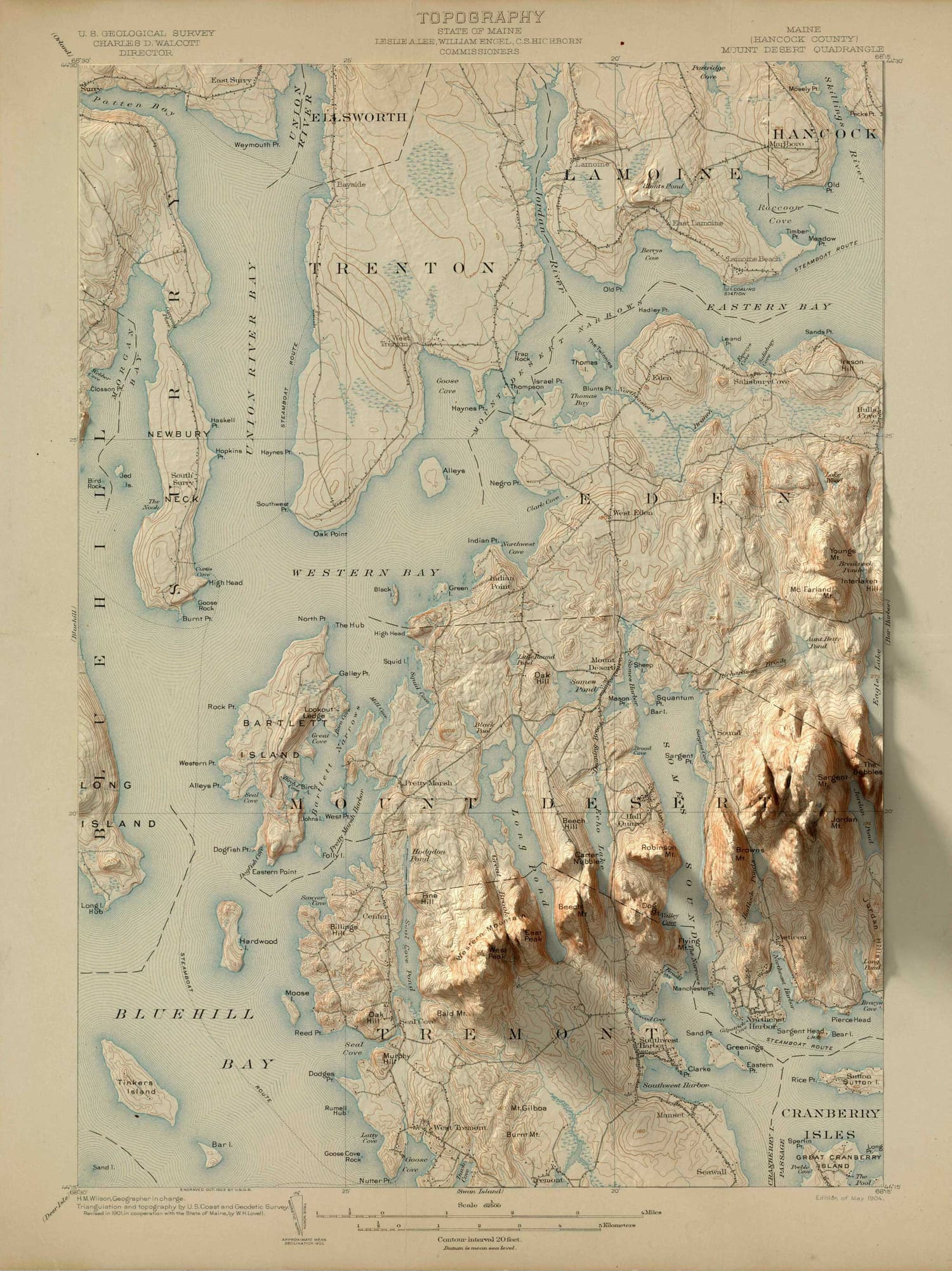
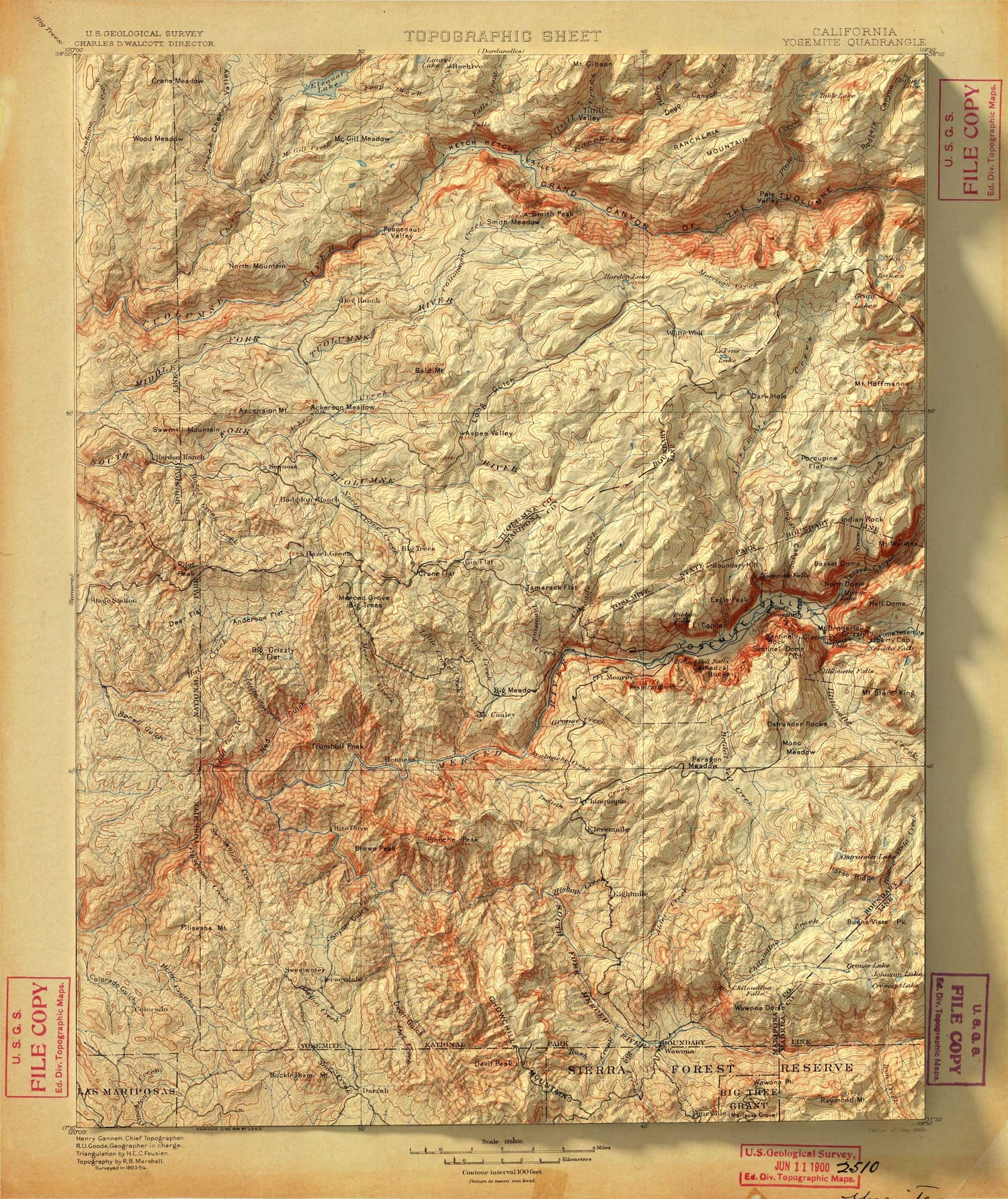
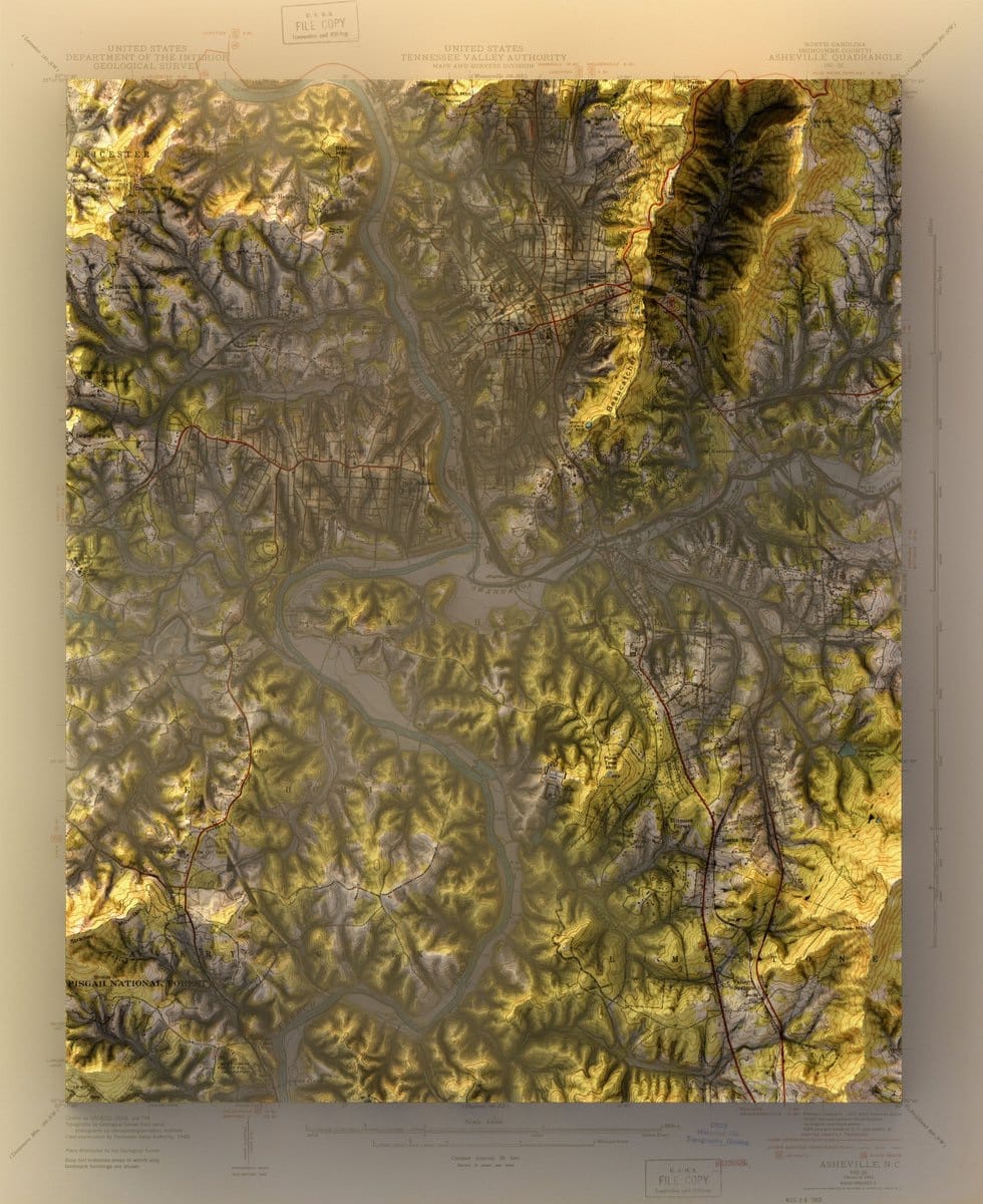
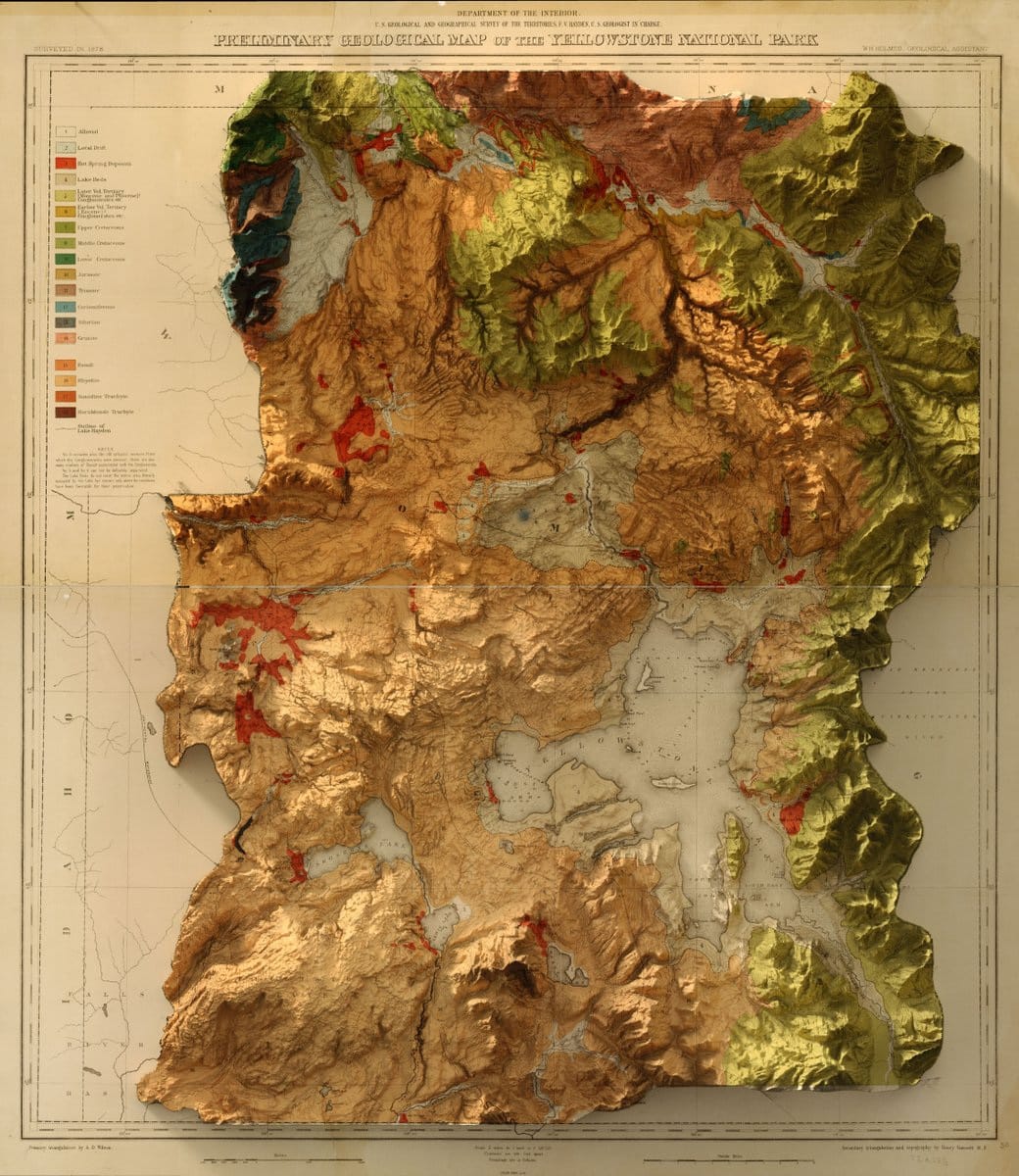
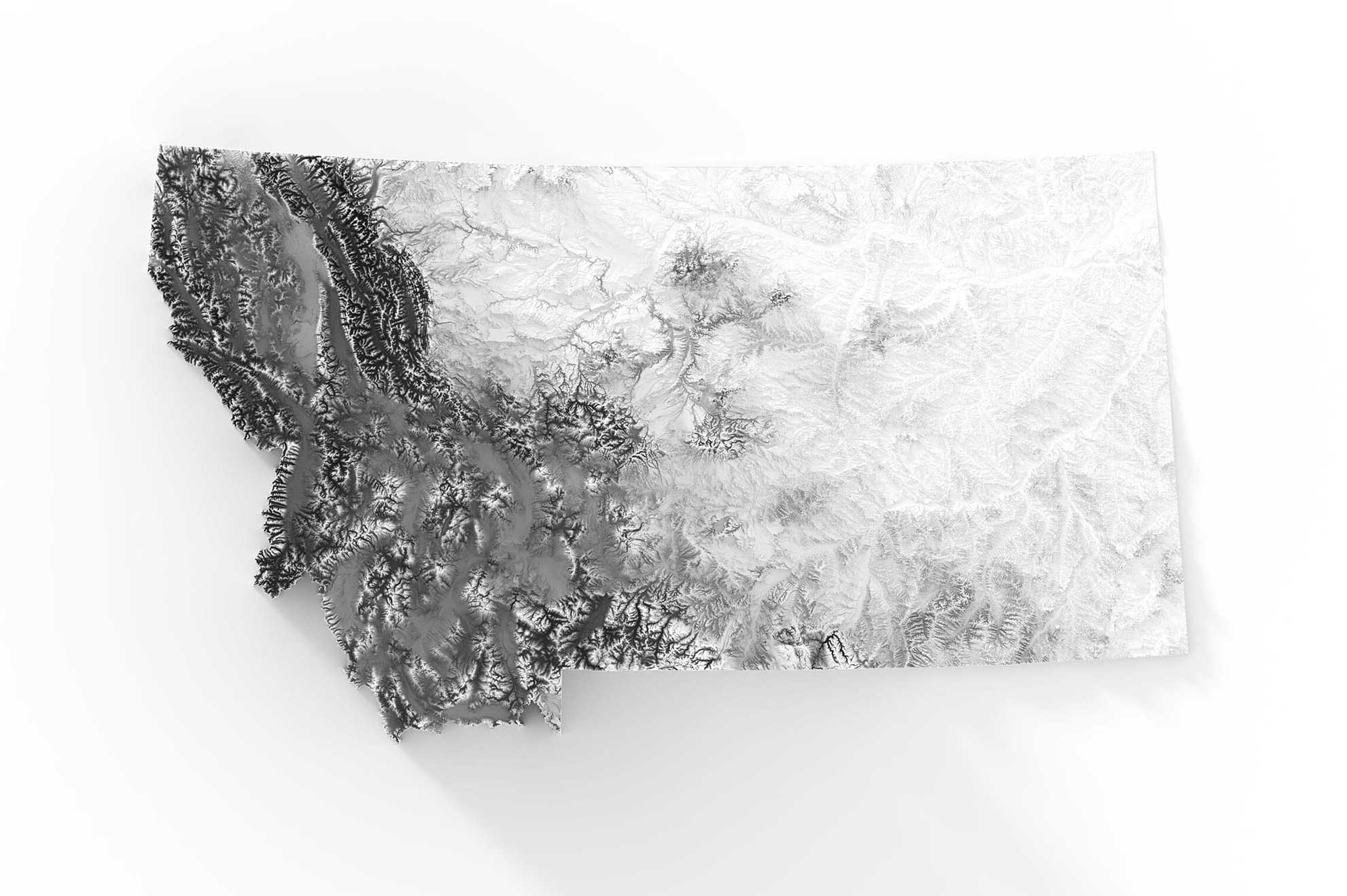
In 2018, I developed a method that combines
3D elevation with historic maps.
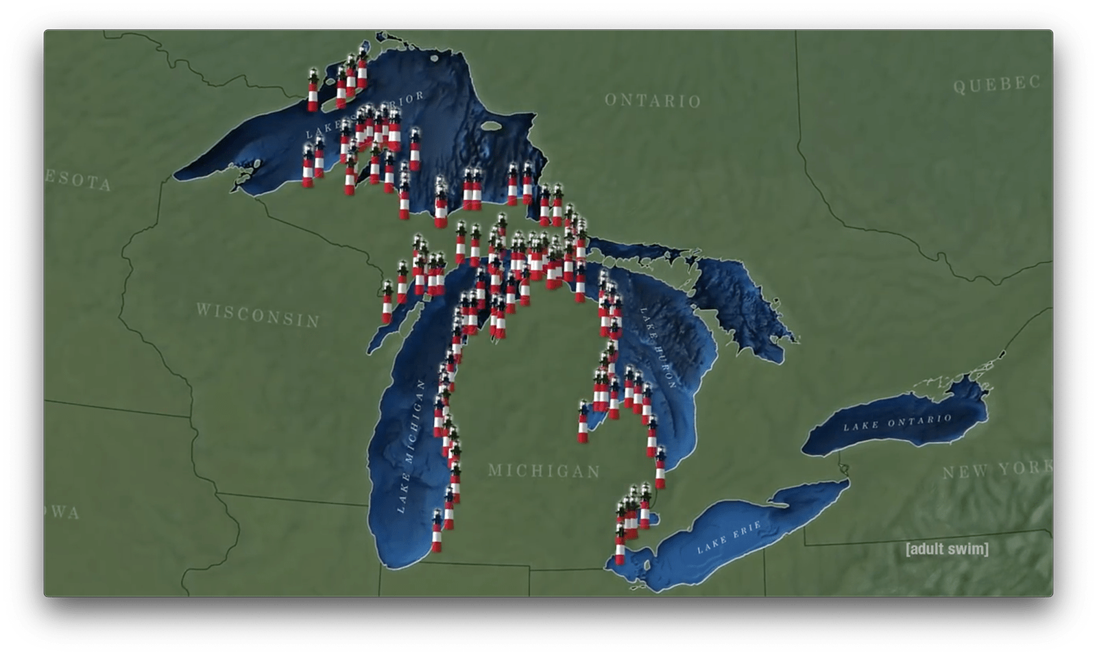
Joe Pera Talks With You
Lighthouse Map
Season 2, Episode 4
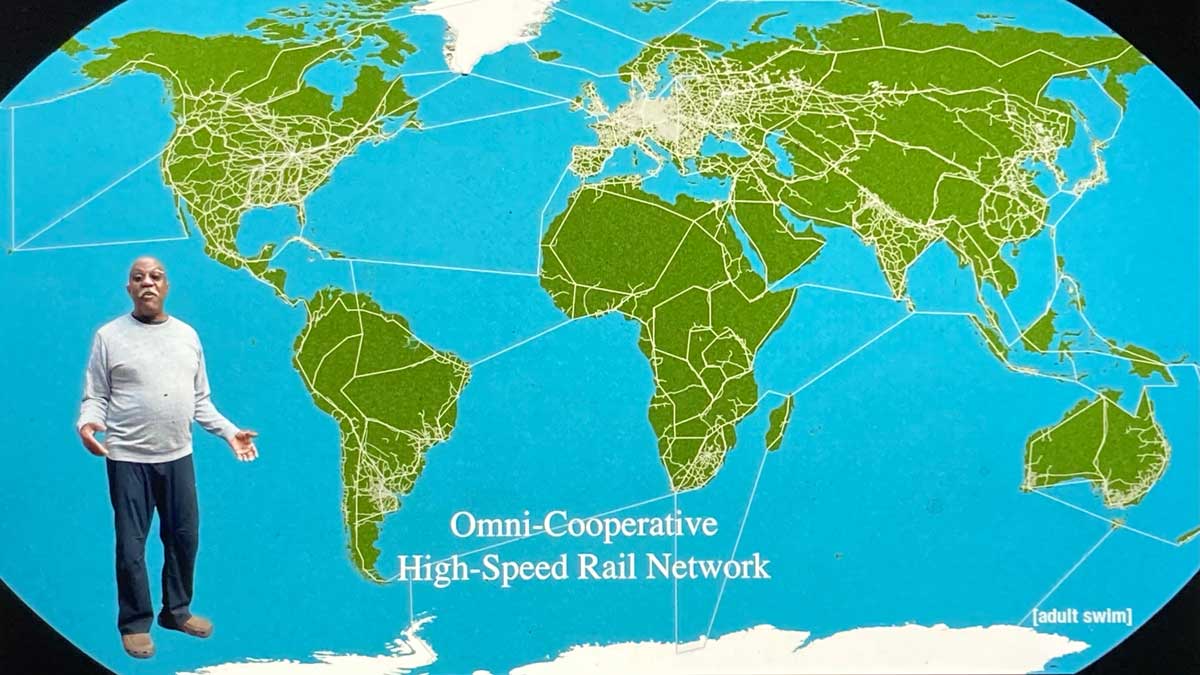
Joe Pera Talks With You
Season 3, Episode 9
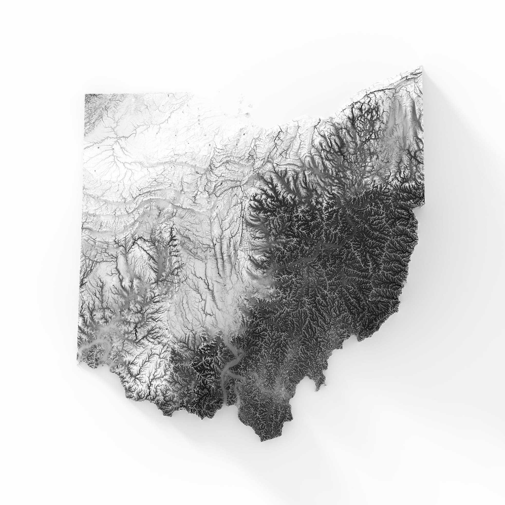
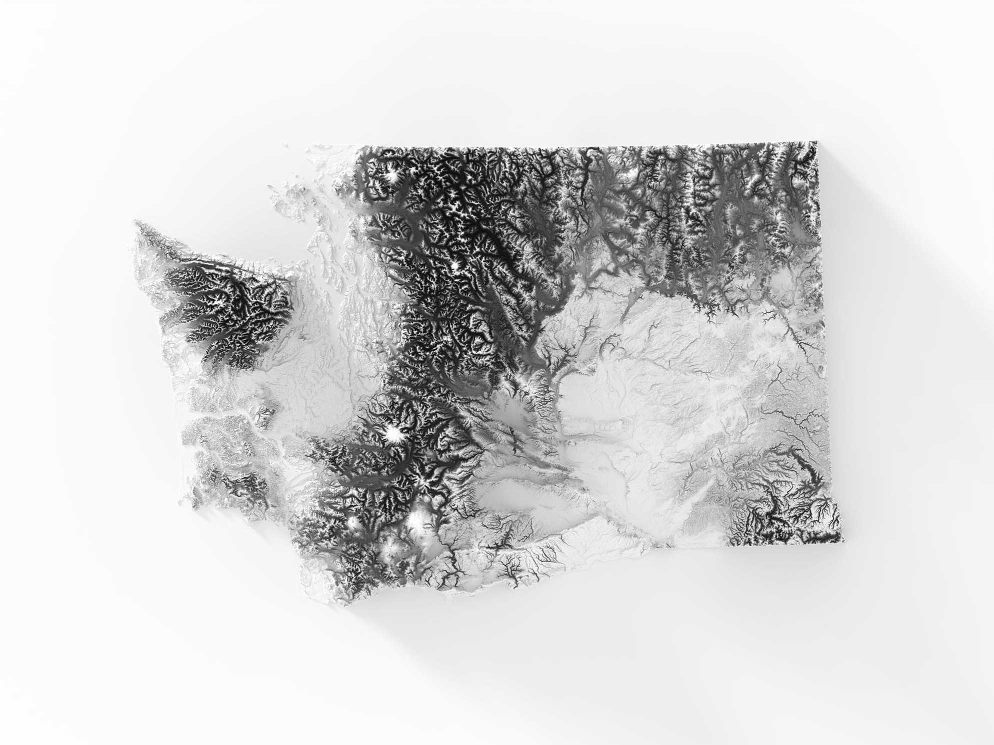
State Elevations